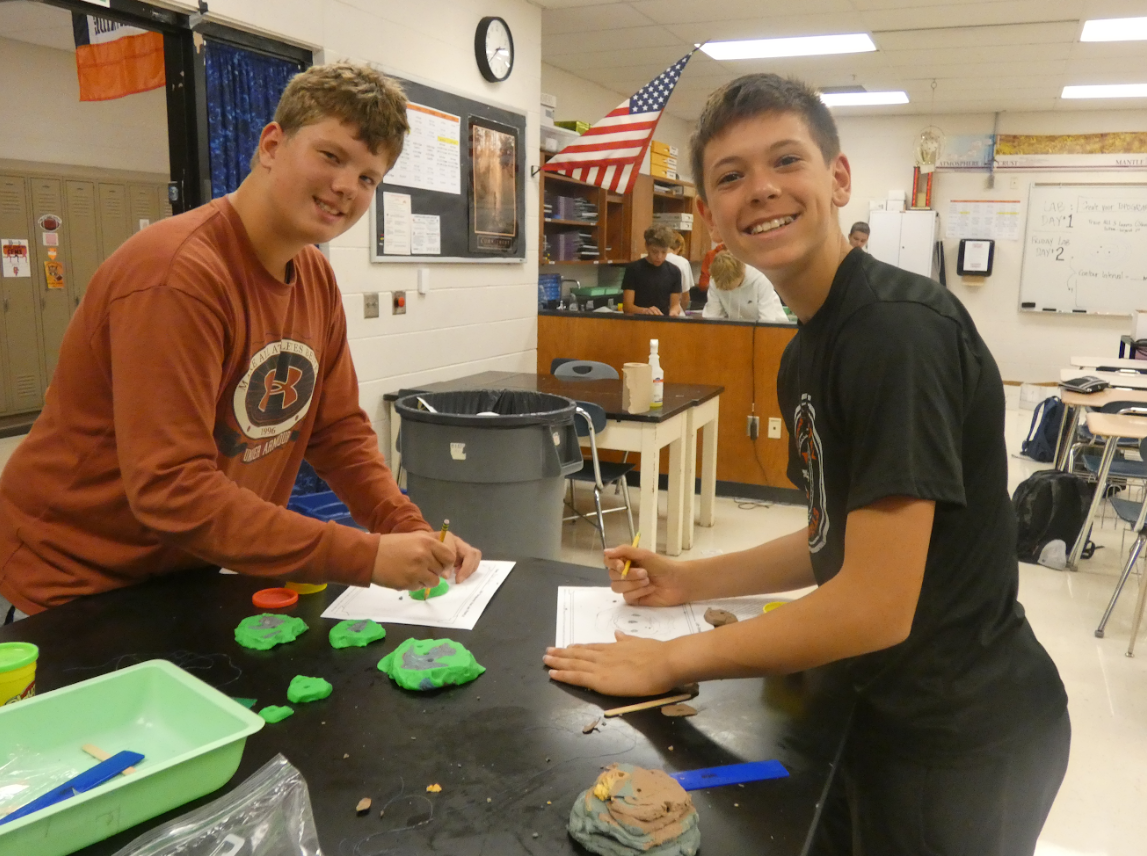
Students in Ms. Mrofchak’s 8th grade science classroom used Play-Doh to create miniature mountains to learn about the science of topography and how to read maps that show changes in elevation. Ryan Novy and Dylan Nelson are shown here having fun with a hands-on lab to make things more tangible!
The hands-on activity turned the classroom into a mini landscape lab as students stacked layers of Play-Doh to build their own mountains. Each layer represented a different elevation, helping students visualize how land rises from valleys to mountain peaks.
After shaping their mountains, students carefully sliced the models into horizontal layers. These slices showed how scientists imagine “cutting” through a mountain at different heights to understand its shape. Each layer was then traced onto paper, creating a series of outlines that represent contour lines—the same lines used on topographic maps.
By stacking these outlines together, students produced their own topographic maps and could see how the shape of a mountain appears on a flat surface. Students quickly noticed that lines close together show steep slopes, while lines farther apart represent gentler hillsides.
The activity sparked plenty of creativity and collaboration as groups compared their mountain designs and tried to interpret each other’s maps. Some students experimented with adding valleys and steeper peaks to challenge their classmates to read the terrain correctly.